
Photo up Top is from Brad Panovich’s Weather Vlog
Sunday’s are my day to ramble, so CHECK THE SNOW REPORT for your Sunday slope offerings and conditions. In summary, the North Carolina mountains have a total of 36 slopes and trails open for your wet Sunday pleasure. West Virginia ski areas are boasting 52 slopes and trails; Virginia has 15 slopes open for Sunday, funday and Tennessee & Maryland have 3 and 8 trails respectively. Go get ’em. Just wear your wet gear.
Good Sunday morning skiers and snowboarders. For the last couple of days, Meteorologist Brad Panovich has been talking to us about the low pressure system that has been forming to our south. He has been sharing that it was very similar to the low pressure system that formulated prior to the Blizzard of ’93. The ONE HUGE DIFFERENCE is that the 2023 version has no cold air in place. Hence, we’re seeing a lot of rain. Folks down in Florida and over towards the east coast of South Carolina and North Carolina are getting the worst of this system – in the form of heavy rains and gusty, damaging winds. Our thoughts are with them.
So this significant, low pressure system is rolling up the coast this morning and it WILL be making things very interesting for those of us with our focus on the mountains. We are already getting rain here in the Western North Carolina mountains and according to the National Weather Service, we can expect perhaps a half to an inch of rain today into tonight. Precipitation is expected to start as rain by mid-morning today throughout the Southeast and mid-Atlantic mountains into Virginia, West Virginia and Maryland as well.
The good news is that this storm has a nice ending to it.
The North Carolina Mountain could see a quick burst of snow tonight with maybe an inch at the higher elevations – particularly like Beech Mountain. Snow showers are likely on Monday, with a high temperature of around 30° and perhaps 1-2″ of snow; and then Monday night, the temps nosedive to 13° and we could see a final burst of 1-3″ of snow possible. So all told, maybe 4″ +/- of snow!
SNOWSHOE, CANAAN VALLEY, TIMBERLINE MOUNTAIN and WISP COULD GET HAMMERED IN COMPARISON!
The WV and MD mountains will see a good bit of rain today and then some sleet tonight. However they are expecting to see a switchover to heavy snow showers by sunrise tomorrow (Monday) and continuing through Tuesday morning. The NWS is predicting 5-10″ of accumulation!
Wisp Resort should see 3-5″ or more.
SPEAKING OF WISP… (Told you I’m rambling today…)
My buddy, Deep Creek area Realtor and Wisp enthusiast, Kristin Skeweris sent these sweet shots from earlier this week while on the snow at Wisp Resort. She shared that while there was not a lot yet open, it was in great shape as you can see for yourself.


AGAIN…speaking on Wisp…
Our own, Kenny Griffin worked with PGRI techs at Wisp Resort to get a NEW, 4K camera installed at the old location at the base of the mountain. It was providing some awesome images on Saturday, before the rain came in.
Here is a shot from that camera on Saturday!

JAMES NIEHUES HAS ENTERED THE BUILDING…
 I received an early, Christmas gift on Saturday night. My girls always complain about how tough it is to get me anything for birthdays, Father’s Day and/or Christmas, but they knocked it out of the park last night by giving me a FIRST EDITION of his new, coffee-table book of maps from more than 200 ski resorts around the globe.
This book is awesome. It was interesting to see that only FIVE of our SIXTEEN Southeastern Ski Areas use Niehues’ artistic talent for their trail maps. We have featured Niehaus on this website before as he has had a brilliant 30-year career of rendering mountains.
I am already into the book as Niehues reveals his exacting technique, which demands up to six weeks to complete a single painting. He then walks you through the step-by-step process for mapping ski resorts, sharing everything from aerial photographs, to numerous pencil sketches, to in-progress builds, to the final trail map illustration.
Niehues was once quoted as saying, “I have always enjoyed the challenge of fitting an entire mountain on a single page. Mountains are wonderful puzzles, and I knew if I painted with the right amountain of detail and care, they would last. A good design is relevant for a few years, maybe even a decade. But a well-made map is used for generations.”
So true.
By the way, those FIVE, Southeastern Ski Area are: Wisp, Snowshoe Mountain, Winterplace, Massanutten and Cataloochee.
Pretty sweet gift and if you are reading this post and have a snow-loving person on your Christmas list, this book is awesome. Thanks girls!
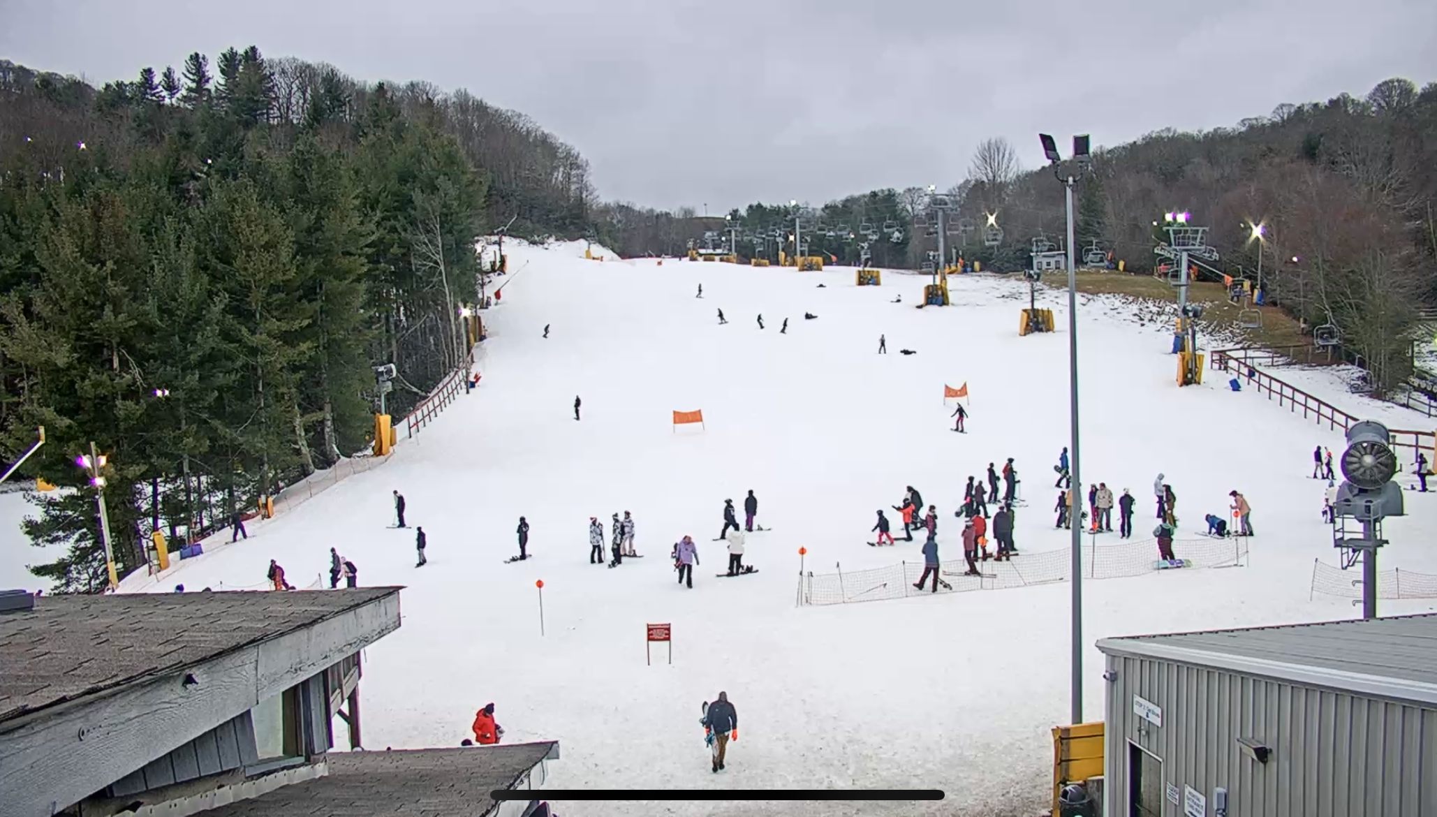
It’s Ugly Out This Morning, So a Webcam Tour is a Waste of Time…
So let’s give you some photos from literally 1-2 days ago…and here’s some quick hitting statements to share.
Timberline Mountain:
Some of my favorite trails at Timberline are open now! Twister, Thunderstruck, and Lower Almost Heaven opened on Friday, bringing their overall trail count to 15 of 20 trails open for skiing and snowboarding.
Appalachian Ski Mountain’s snow report features a new interactive terrain park section. You have scroll down to the bottom, but clicking on any box or rail will provide more insight. See: https://appskimtn.com/slope-report
Bryce Resort – has White Lightning open as of Saturday.
SNOWFALL AND TEMPERATURE DISPARITY
So far this early, pre-winter pattern reminds me of several years ago when West Virginia and Maryland ski resorts just kept getting the favorable temps and snowfall most of the season. It is early, but as I dug through David Lesher’s Canaan Weather data, now ran by Bill Peterson, it is crazy to see that Davis, WV and Tucker County has seen 14.9″ of snow in November and another 12.3″ of snow so far in December…for a nice 27.2″ of snow to lead the region.
SNOW REPORTING DISPARITIES…
Depending on which national, snow reporting agency you look at, Sapphire Valley is either NOT OPEN, has ZERO SLOPES OPEN and/or has from 15-40″ or 15-28″ or 0-0″ of base depth. Why do you guys even LOOK at any other snow report than right here at SkiSoutheast.com?
In closing, I KNOW that Sapphire Valley is more of a cool, resort community that just happens to offer a couple of slopes and a tubing hill, but GOOD LORD is their website absolutely horrible and almost useless, even to those of us who know HOW to dig for intel.
Worst website and daily updates go to Sapphire Valley….
Here are some closing photos…

THINK SNOW!
THINK COLD!
Also click here to Join Us on our New, SkiSoutheast Discord Channel. It is a GREAT way to meet new snow loving friends and shares experiences, ask questions and more!
Until Then, THINK COLD. THINK SNOW!
Email me at [email protected]