
For the second Monday in a row, the lead story is that today will be another day of transition. Last Monday morning I was reporting something almost identical to what the ‘meat’ of today’s story-line will be. One week ago today we were looking at ‘soft’ conditions, mild temps and very limited ski areas open across the region.
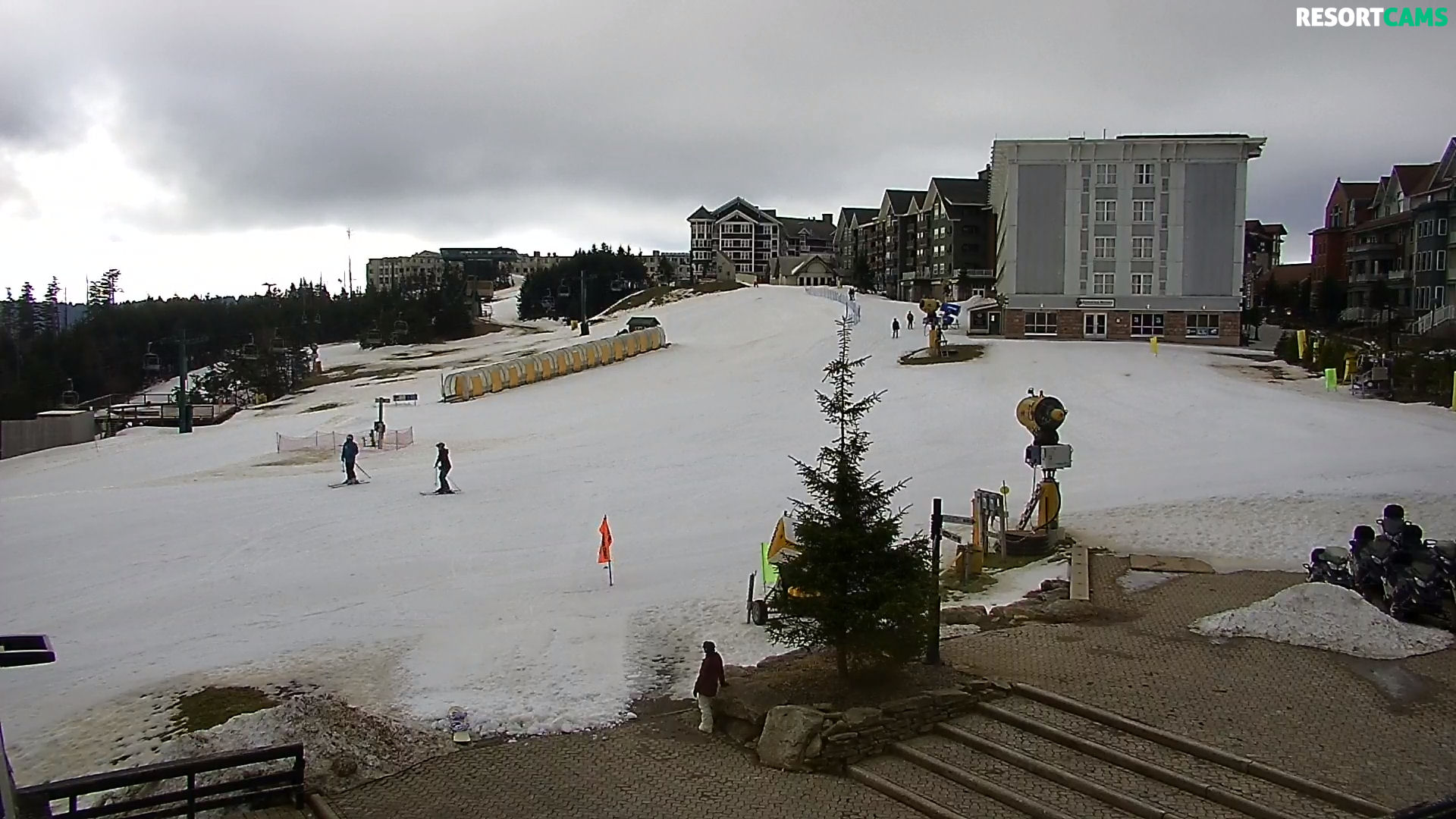
The Photo of the Day (up top) is from the top of Beech Mountain’s Summit Cam.
Six of our sixteen resorts open for today. Only App and Sugar are open for night sessions.
Sunday was a crazy weather day, but for those of you who did make it out on the slopes, it had to have been awesome as the Sunday morning fog cleared, giving way to sunny skies and spring-like temperatures. I saw 64° in downtown Boone at lunchtime.
This morning’s SNOW REPORT was completed in what I am fairly certain was record time. To go through all sixteen ski areas and pull the temps and slopes open took all of 16 minutes. No snowmaking was happening anywhere with temperatures reflected below.
41° Appalachian – OPEN with 9 trails
40° Beech Mountain – OPEN with 5 trails
46° Bryce Resort – OPEN with 1 trail
43° Cataloochee – OPEN with 6 trails
29° Snowshoe Mountain – OPEN with 21 trails
37.6° Sugar – OPEN with 7 trails
34.5° Canaan Valley & Timberline
50° Massanutten
45° Ober Gatlinburg
49° Sapphire Valley
38° Omni Homestead
41° Wintergreen
37° Winterplace
40° Wisp
40.5° Wolf
Snowshoe Mountain Also Talking Transition
Today is going to be a transitional day from a weather standpoint. Yesterday was mild and sunny but now things are cooling back off and we’ll likely see some snow flakes flying before the day is done. If the forecast holds up, it’s going to be another cold and snowy week here at 4,848ft. Temperatures dropped just low enough last night to allow our groomers to touch everything up. Watch for snowmaking to fire back up sometime tonight.
The handy dandy 3-For-All Pass (Good for any 3 days of the season) goes on sale online today for $179. Get yours before they’re gone!
The Weather Ahead…Lots of Snow?!?! Big Snow?!?!?!
The subject of long-range forecasting drives some people batty. Joe Stevens is one of those. He’s more of a ‘tell me what’s going to happen tomorrow’ kind of guy. For some of us – yes including me – I tend to hang my hat on any kind of a forecast of cold temperatures (for snowmaking) and any mention of snow.
Meteorologist, Brad Panovich was sharing his forecast for the potential of snow on the 29th of November (four days ago) and at that time there was thought that by mid-this-week we’d be seeing significant snowfall. That system has slowed a bit, and now the forecast for even MORE significant snow is on everyone’s mind.
As of right now, the NWS is forecasting a return to snowmaking temperatures tonight and tomorrow for all ski resorts. That will no doubt get the guns running at all 16 ski resorts tonight and tomorrow. We could even see some snow flurries tonight at a few locations and again Tuesday evening.
That snow event doesn’t bring anything significant in terms of snowfall, but those cold temperatures will transition the resorts that are already open – into mid-season form. The resorts that are not open WILL ALL be looking at building base and some will open later in the week and this weekend.
Long range forecasts are usually pretty trick and not dependable, however there does seem to be a consensus that significant snow is expected for this weekend. There is some question about some areas getting snow AND a wintry mix, however ONE model is forecasting big snow. I was watching my local news guy this morning and he was warning that this could be big and that the temperatures could also mean an ice event.
So this comes under almost a CLICK BAIT kind of thing just to give everyone something to talk about around the office this week.
An interesting side-note:
Our Southeastern ski areas are actually covered by six distinctly different forecast offices. They are ALL official NWS forecast offices – just dotted around the region and given jurisdiction for specific areas.
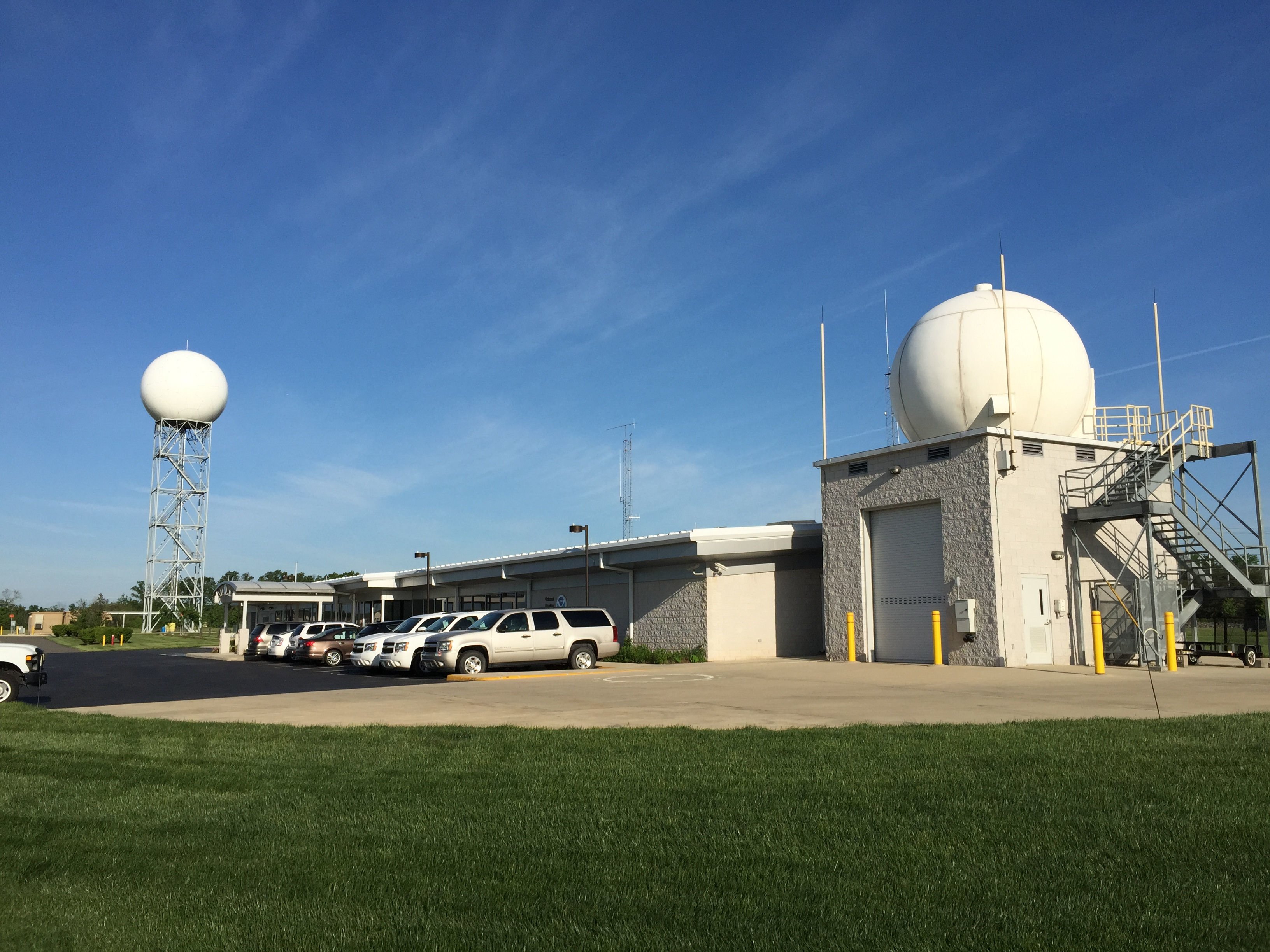
Some of the Virginia ski resorts are covered from the forecast offices in Baltimore, MD / Washington, D.C..
Some locations in Virginia are covered by the NWS offices in Blacksburg, Virginia.
Interesting, our North Carolina ski areas are mostly covered by the Blacksburg, VA forecast center. The only exceptions to that would be the fact that the NWS forecast offices out of Greenville / Spartanburg, S.C. handle the data and forecasting for Sapphire Valley, Cataloochee and Wolf Ridge.
The Weather Forecast offices out of Pittsburgh, PA handle Wisp Resort area and their location in Morristown, TN handles the Ober Gatlinburg area.
The West Virginia ski resorts are covered by the NWS forecast offices in Charleston, WV.
I will tell you that the peeps working at of the Blacksburg, VA office are undoubtably snow people as well, because their long range forecasts within their area of coverage ALWAYS shows predictions for snowfall totals days ahead – whereas the offices elsewhere tend to leave things BLANK as far as snowfall expectations until 1-3 days ahead.
Right NOW, the NWS Forecast offices out of Blacksburg are forecasting a LOT of snow, not only for our mountains, but for locations like Hickory and Winston-Salem in North Carolina – as well as Blacksburg, Virginia (home to Virginia Tech). If things hold true to their forecasting, the kids at Va Tech will be enjoying some nice snow (up to a foot or more) in the midst of exams.

Here are the numbers being shared by the Blacksburg office for Beech Mountain.
1″ of snow Saturday
3-5″ of snow Saturday Night
5-8″ of snow Sunday
3-5″ of snow Sunday night
3-5″ of snow Monday
15″-24″ of snow?!
Snowshoe and the WV mountains could see 3-4″ of snow over the NEXT couple of days and then the same kind of snow event hinted at above.
Okay – we’ll see IF and how that may change as we get closer and there is no question that Brad Panovich and others will be chiming in with more official data. Until then…
COLD TEMPS MEAN SNOWMAKING!!!
Observing the temps at Cataloochee Ski Area for the next few days shows:
Tonight: 24°
Tues: Hi 33° Lo 19°
Wed: Hi 28° Lo 19°
Thurs: Hi 38° Lo 28°
…and we are seeing borderline temps for snowMAKING, but we’re also hoping for this natural snow event to kick in.
…and if you look around the mountains of the High Country in N.C., VA WV and MD things look a notch colder, with some around-the-clock snowmaking for several ski areas. So the transition from Sunday’s mild temps and soft conditions to more pristine slope conditions will be happening over the next 24 hours and beyond.
We will certainly keep you up to date as we get closer. In the meantime:
#THINKBIGSNOW!
#THINKCOLD
That will do it for today.
We’d REALLY LOVE IT…if you would:
Subscribe to Our YouTube Channel < For great Video Notifications
Like Us on Facebook! < The Best Ski Resort News Around! If you LIKE us you will automatically be eligible to win free lift tickets and other giveaways that we do all season long!
If you want to drop me an email or comment, feel free. Your thoughts, trip reports, input, suggestions or general commentaries are welcome.
Email me your thoughts, comments or any news to [email protected]
[final-thoughts]