…and I am getting some texts this morning sharing that we are seeing some snow around the High Country. I’m not seeing any evidence of it on the cameras as yet.
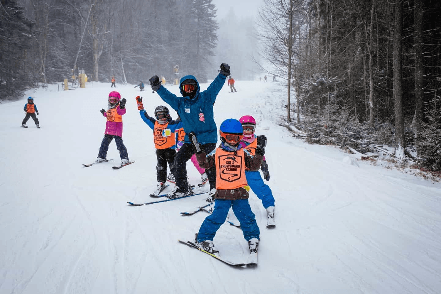
Photo of the Day is from Snowshoe Mountain
There IS a Winter Weather Advisory posted for the West North Carolina mountains for 2-5″ of snow. We’ll see. I am also seeing mentions of SNOW in the forecasts for the West Virginia and Maryland ski areas. It HAS been a bit on the cold and snowy side over the last week. We’ve now seen ten days straight that were colder and snowier than normal across the region.
Here’s the morning Winter Weather Advisory from the NWS.
.ACCUMULATING SNOW ACROSS THE MOUNTAINS OF NORTH CAROLINA ABOVE
3500 FEET …
.A strong upper level disturbance will combine with plenty of low
level moisture to produce snow across the higher elevations of
the North Carolina mountains. Snow levels will generally remain above
3500 feet where up to 2 inches of snow will fall. Elevations above
4000 will likely see 2-5 inches or more…especially across the
Smokies, Black Mountains, and the northern mountains such as Beech
Mountain. The snow will taper off and become light through the
overnight and be mainly confined to the northern mountains near
the Tennessee border by daybreak Tuesday.
…WINTER WEATHER ADVISORY IN EFFECT UNTIL 7 AM EST TUESDAY ABOVE
3500 FEET…
* WHAT…Snow expected. Total snow accumulations of up to 2 inches
around 3500 feet, with 2-5 inches or more above 4000 feet.
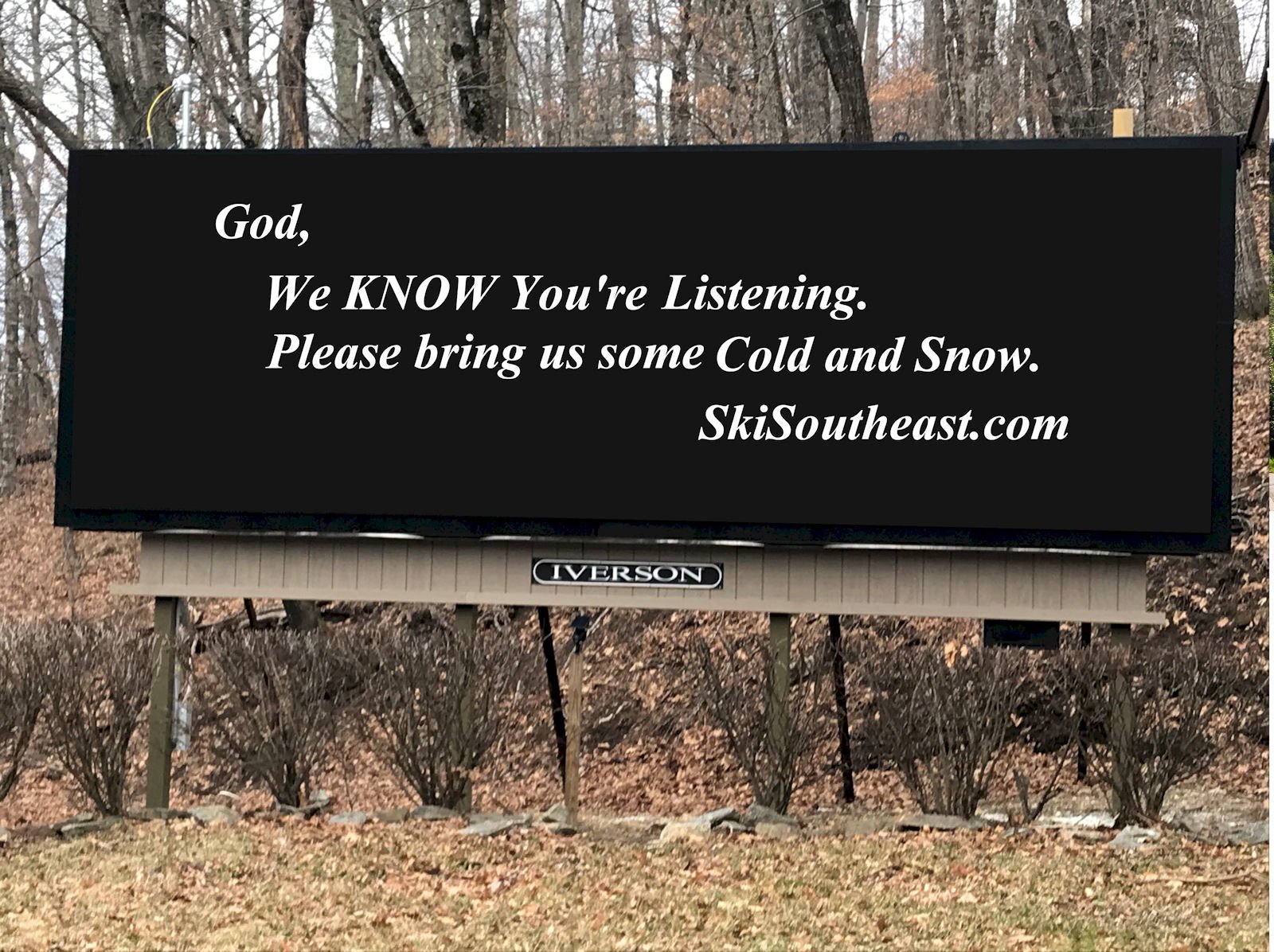
We have cold temperatures forecasted in our mountains of the southeast and mid-Atlantic with chances at around-the-clock snowmaking AND some more chances at natural snow today, tonight, Wednesday night and Thursday morning…and there’s STILL that system developing that could bring some wintry mix or snow this weekend.
Still praying…
Monday Notables:
Here are some of the nicer photos from around the region this morning.

OBER GATLINBURG
You will see activity on the webcam before noon, as the Special Olympics Winter Games kicks off this morning at 9:15 am with the Torch Relay down Castle Run and the Lighting of the Tourch. Tune in on the webcam– it is a truly inspiring event!
Wintergreen’s Monday Morning post
I always like it when they BLOG.
Monday, Fun-day!
The sun is up. The snowguns made snow all night. The groomers have prepared a beautiful corduroy carpet. We’re checking the lifts. The coffee is perked. We’re ready – where are you?
Sapphire Valley – closed during the week. Reopens Friday.
Snowshoe Mountain – reported 1″ of new snow and this post:
Our snowmakers have been hard at work the past few days and will continue to pile up those whales with lows in to the teens throughout the week. The 45th annual Cupp Run is just one week away, we can’t wait to cheer on the racers in the longest running competition on the mountain! It’s a perfect week for night skiing, fuel up with food at the Bear’s Den before shredding Silver Creek.
Sugar is reporting 2″ of natural snow in the last 24 hours. Nope.
They are also reporting 26.2″ on the season. Nope. (17″).
RaysWeather peeps seem to continue to go along with that charade reporting that Beech has only received 14.4″ on the season (they’ve seen 18″ to date) and reporting that Sugar has received 24.2″ (when they’ve seen 17″).
Here’s a challenge for anyone who wants to take it. Each time you see snow reported in Avery County…drive to the top of Sugar and do the same for Beech Mountain and tell me where you find more snow.
Southeast Si Says There Will Be Six More Weeks of Winter…
(Based on the premise that we haven’t HAD Six Weeks of Winter yet!)
Southeast Si Predicts Six More Weeks of Winter – EARLY! Spoiler Alert for Groundhog Day!
As the snow fell across the highest elevations Friday night into Saturday morning at Beech Mountain, my girls thought it would be fun to take “Si” out of his resting place and coerce him to provide an update on what we should expect for the rest of Winter. (We couldn’t wait another week.)
We posted it on Facebook on Sunday and so far the only response we’ve gotten were crickets chirping. I see how it is – we can burn snowmen in effigy and you guy will chime in a ton. We posted the video this morning here on the website, so we’ll see how it goes. Thought you guys would be excited about the news of “six more weeks of winter”. Haha.
Here’s the video…
JOIN US FOR THE 13TH ANNUAL SKISOUTHEAST / SNOWSHOE SUMMIT
 See more information and book today
That will do it for today.
We’d REALLY LOVE IT…if you would:
Subscribe to Our YouTube Channel < For great Video Notifications
Like Us on Facebook! < The Best Ski Resort News Around! If you LIKE us you will automatically be eligible to win free lift tickets and other giveaways that we do all season long!
If you want to drop me an email or comment, feel free. Your thoughts, trip reports, input, suggestions or general commentaries are welcome.
Email me your thoughts, comments or any news to [email protected]