
I’m liking the trend we seem to be in. Every few days lately we’ve seen a little moisture connect up with some unexpected, colder air that makes for a bit of snow.
The POD up top is of Viburnum frozen with a bit of snow and rime ice.

Late on Saturday evening as I was watching one of the most frustrating college football teams in the country (my Gamecocks) beat Tennessee, my phone began to beep, alerting me that SNOW was falling atop Beech Mountain’s 4500′ to 5500′ elevations. Some friends of ours live above Beech Mountain Resort at about the highest point of the mountain and they posted this dusting late last night.
Not sure what the elevation is at their home, but there is a short walk to an overlook, where you can look down about 500′ to the ski area. So it’s up there!
We saw flurries here at my home, which is at 3300′ elevation.
Chief Meteorologist Video taken by Chief Meteorologist, Tim Buckley of WFMY News 2 out of Greensboro, NC from Beech Mountain on Saturday night, October 28th, 2018.
None of the CoCoRaHs reporters posted any measurable snowfall for any location in North Carolina, so I guess we’ll call it a TRACE.
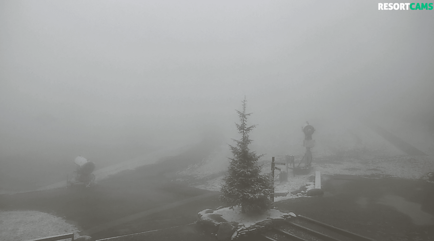
Snowshoe Saw Snow…for the 3rd time in October
The capture below shows the after-effects of another burst of snow there this morning.
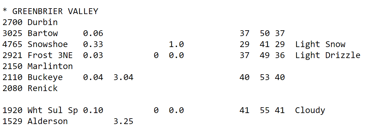
Snowshoe also has a NWS reporting station on the mountain (wish they all did) and here is a capture of the official data posted via their official reporting station…reflecting the 1.0 of snowfall.
Surprisingly, Canaan Valley did not see any snow as David Lesher posted, “Light rain and drizzle continuing overnight with temperatures slowly falling through the 30s to 33F at daybreak. No snow or ice.
Email me your thoughts, comments or any news to [email protected]
We’d also love it if you guys would subscribe to our YouTube Channel, Like Us on Facebook and/or share your posts on Instagram. The more the merrier.
[final-thoughts]